upper waypoint

North Bay Expecting Heavy Rains, Swelling Rivers, Possible Flooding

Save ArticleSave Article
Failed to save article

Please try again

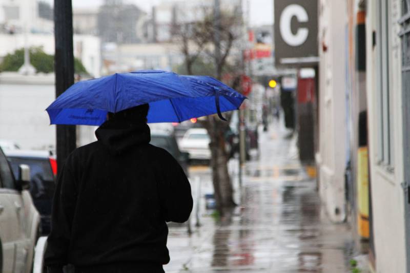
A person holding a blue umbrella on the sidewalk in a city as it rains.
Rain falling in San Francisco's Mission District on Feb. 6, 2015.  (Anya Schultz/KQED)

Update 11:50 a.m. Tuesday

A major storm boosted by an atmospheric river remains on track to hit Northern California beginning early Wednesday morning and lasting through Thursday morning.

The National Weather Service’s Bay Area office has issued a flood watch for the region from 4 a.m. Wednesday through 4 a.m. Friday, as well as a wind advisory from 4 a.m. Wednesday until 4 a.m. Thursday.

The Santa Cruz and Santa Lucia mountains are under a high wind warning during that same time period.
The Weather Service also adjusted its forecast to reflect that the “likelihood of reaching flood stage at mainstem rivers across the North Bay has increased to a 30-50% chance at the Russian River at Guerneville, the Napa River at Saint Helena, and the Napa River at Napa.”

Sponsored

They also said that a “15-35% chance of reaching flood stage remains for the Russian River at Healdsburg in the North Bay and the San Lorenzo River at Big Trees in Santa Cruz County.”

Original story continues: 

On Wednesday, the main front of a storm will move through the Bay Area, bringing heavy rains, strong winds and possible flooding in the North Bay.

The heaviest rain is expected between 10 a.m. and 10 p.m. Wednesday. Scattered showers will continue throughout the rest of the week.

The National Weather Service recently adjusted its forecast — and now predicts the storm system will move through the region slower than initially expected. The storm could drop between 4 and 6 inches on the coastal mountains on Wednesday and 2 and 4 elsewhere across the Bay. The city of San Francisco is expected to receive up to 3 inches.

The main stem of the Russian River at Guerneville has a 30% chance of rising above the minor flood stage between Thursday and Saturday. Some localized creeks and waterways, such as the Laguna de Santa Rosa at Stony Point Road in Cotati, may also rise above their banks. Other roadside flooding is likely.

“We’re also looking at some slight potential for landslides due to how saturated the soils are,” said Rachel Kennedy, a meteorologist with the National Weather Service.

High winds may bring down trees and electrical lines, causing power outages. Wind-blown debris may clutter roadways. The Weather Service forecasts peak gusts throughout the Bay Area at 30–40 miles per hour and isolated gusts up to 50 miles per hour on the coast and ridges.

In the Sierra Nevada, the Weather Service has issued a winter storm watch between Wednesday morning and Friday morning. Snow may accumulate between 1 and 2 feet and up to 3 feet on mountain peaks. Winds may gust up to 50–60 miles per hour.

Travel might be difficult, as chains could be needed or roads closed.

KQED’s Kevin Stark contributed to this report. 

lower waypoint
next waypoint
Atmospheric Rivers in California’s Ancient Past Exceeded Modern StormsFrom Tunnel Muck to Tidal Marsh, BART Extension Could Benefit the BayWorld's Largest Digital Camera Built in the Bay Area to Illuminate Mysteries of the UniverseHow an Ocean Exploration Video Game Out of Monterey Bay Contributes to ScienceFrom Storms to Sunscreen: Bay Area Weather Turnaround Is HereThis is NOT a Dandelion.What Actually Makes Water Roll Off a Duck's Back?Hoping for a 2024 'Super Bloom'? Where to See Wildflowers in the Bay AreaEverything You Never Wanted to Know About Snail SexThese Face Mites Really Grow on You