He added: “But bridges are still better than walls. And California remains the 6th largest economy in the world and the most prosperous state in America #Facts."
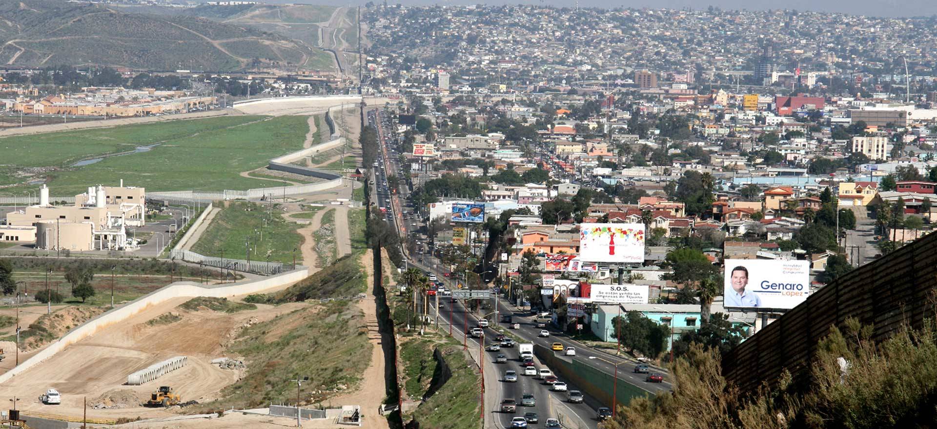
Stretching some 2,000 miles from the Pacific Coast to the Gulf of Mexico, the U.S.-Mexico border is the most crossed international boundary in the world. Everyday, more than a billion dollars worth of goods pass back and forth across the border, as do about 11 million people.
The eight border wall prototypes, some up to 30-feet high, are built from various configurations of concrete and steel. Some even have spikes on top. The samples will be tested on several criteria to determine which ones will potentially be used along major stretches of the border. That is, if Trump gets his way.
Despite famously promising throughout his campaign that Mexico would pay for a new border wall, the Trump administration is now seeking $18 billion from Congress to cover the costs of construction for the next 10 years. That would fund about 300 miles of new barriers where nothing currently exists, and replace roughly 400 miles of “legacy” fencing .
It's a tall order given the proposal's widespread opposition among Democratic lawmakers and the American public, not to mention at best lukewarm support from Republicans. And if it does end up getting the green light, the project would almost certainly get held up in a slew of lawsuits, challenging it on both environmental and jurisdictional grounds.
But even beyond all of those hurdles, building an effective wall along the border is not nearly as physically straightforward or feasible as Trump would make it seem.
To get a better sense of the lay of the land, quite literally, Reveal from The Center for Investigative Reporting, spent years collecting and mapping border data, including the 700-mile hodgepodge of fencing that currently exists. Explore the map below to see what the border actually looks like. You can also see a full-screen version here and listen to a fascinating set of border-related stories produced last year by Reveal reporters.